
News
Hurricane Polo Threatens Mexico’s Pacific Coast With Floods
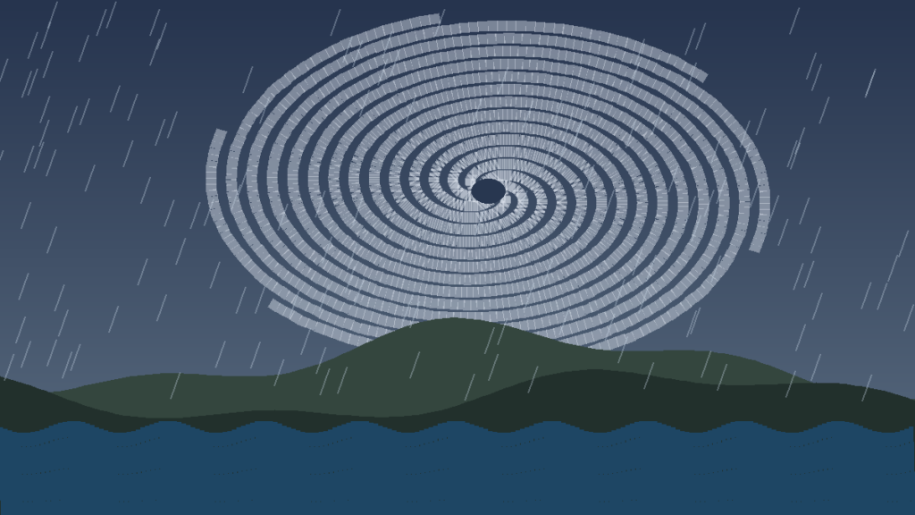
Hurricane Polo is one of the most powerful storms ever measured in the Eastern Pacific. On Thursday it was still churning off Mexico’s southwestern coast. Forecasters say the danger now is water, not wind.
Polo underwent extreme rapid intensification this week. Its winds jumped from about 45 mph early on Monday to 150 mph a day later. They peaked near 180 mph. Since then the storm has swung between Category 4 and Category 5 strength.
Why Hurricane Polo is so dangerous
The US National Hurricane Center expects the core to skirt the coast rather than make landfall. That is little comfort for Guerrero. The state is steep, rural and dotted with small ports and resort towns.
Forecasters expect 3 to 6 inches of rain across parts of Guerrero and Michoacán through Thursday. Some spots could see 8 inches. The centre warned of “life-threatening flooding and mudslides, especially in areas of steep terrain”.
Coastal Oaxaca, Colima and Jalisco could get 2 to 4 inches. Dangerous surf and rip currents are also forecast along the southwestern shoreline.
On Wednesday the storm sat about 165 miles off Zihuatanejo. It was crawling north at roughly 2 mph. A slow storm drops more rain on the same hillsides.
A record-setting storm in an El Niño year
By central pressure, Polo is the second-strongest hurricane on record in the Eastern Pacific. Only Patricia in 2015 was stronger. By wind speed it ties Rick (2009) for third place.
Forecasters link the busy Pacific season to unusually strong El Niño conditions. Warm water, moist air and weak wind shear help storms form and grow fast.
Mexico has issued a tropical storm warning from Tecpan de Galeana in Guerrero to Punta San Telmo in Michoacán. Authorities have ordered evacuations in some areas and opened shelters. Thousands of navy, security and Red Cross personnel have been deployed.
Polo regained Category 5 strength early on Thursday. Forecasters expect its core to stay near the coast through Thursday morning, then move farther out to sea. Residents should keep watching official advisories.
Mountain floods are often deadlier than coastal winds. We saw the same pattern in last month’s Nepal and Tibet floods. The lesson holds: evacuate early and trust the forecasters.
For live track maps, see the CBS News Hurricane Polo tracker.
Fact basis: US National Hurricane Center advisories as reported by CBS News (23 Sept 2026) and NPR (23 Sept 2026); ABC7 and PBS NewsHour storm coverage. Figures are forecasts and may change.